Rainbow Lake Trail
🌿 Outdoors · Whistler
Rainbow Lake Trail
16 km loop to Rainbow Lake, 850 m elevation gain, at least 6 hours round trip
Free to Visit
♡ Favorite saves this place for later. Add to trip puts it on your trip list.
About this place
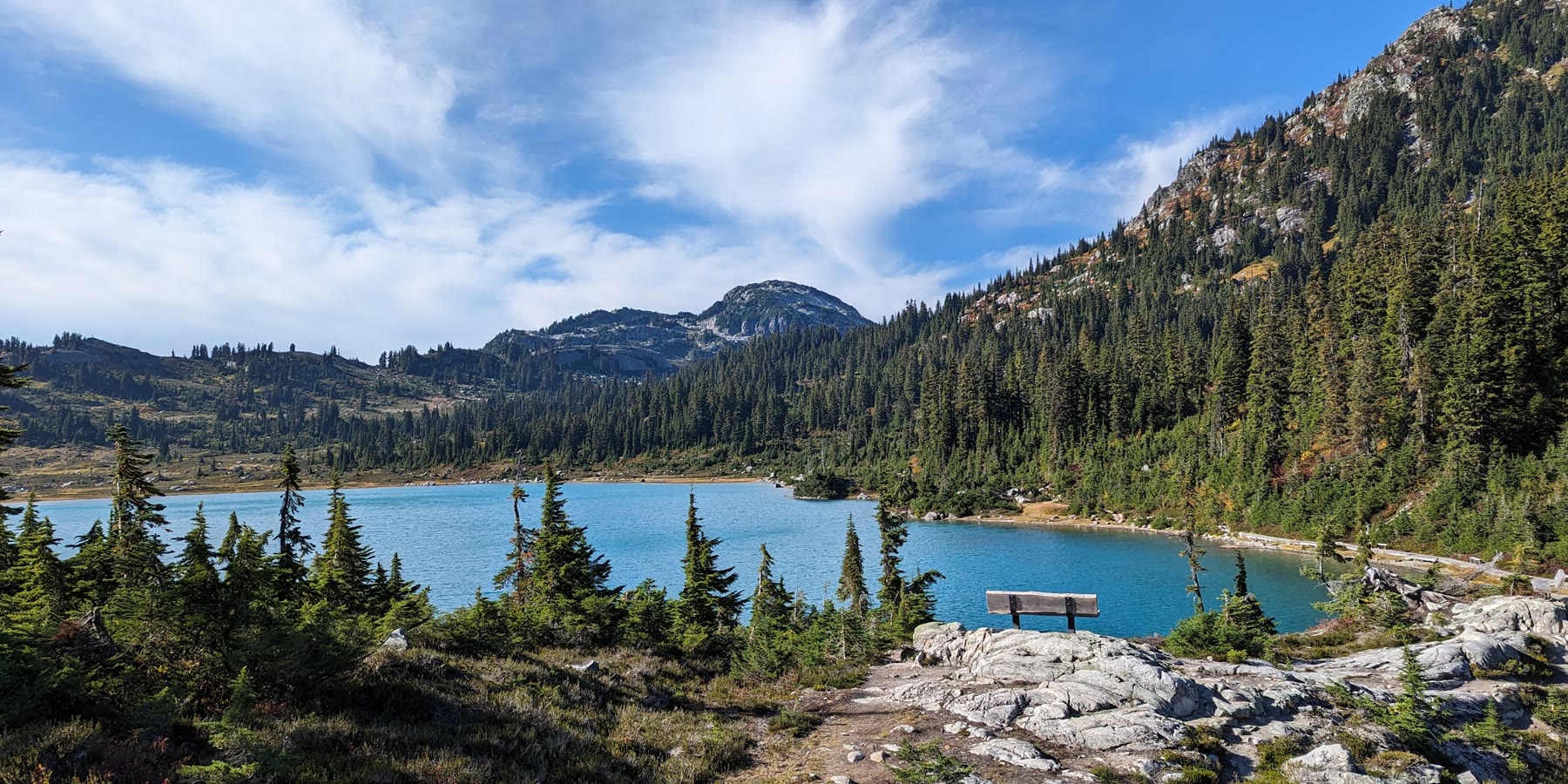
A long day hike up the 21 Mile Creek valley past sub-alpine ponds to Rainbow Lake, Whistler's drinking water source. Dogs and bikes are banned to protect the watershed, and the route continues toward the Callaghan.
Before you go 🌞
No dogs or bikes (water supply area)
Small lot and pit toilet at the Alta Lake Road trailhead
Alpine trails typically open July to October, snow and weather permitting
At least 6 hours round trip
No swimming or camping at Rainbow Lake
Grizzly, black bear and cougar territory; be AdventureSmart
Information from whistler.ca ↗, checked Nov 2, 2026
Plan your hike
- The hike16 km loop to Rainbow Lake, 850 m elevation gain, at least 6 hours round trip
- Before you goGrizzly, black bear and cougar territory. No swimming, camping or fishing at Rainbow Lake. Use the southwest side of Rainbow Creek.
- Trail mapRainbow Falls Loop and Rainbow Lake map (RMOW PDF) More ↗
From whistler.ca, checked Nov 1, 2026
Visitor photos & tips
Check your email. Click the link to send your photo/tip for review.
Make a day of it
Nearby adventures ✨


Own or manage this business?
Claim this listingFree. Already have a login? Sign in to update this listing
Spotted something that needs updating? Suggest an update →