Mackenzie Basin Trail Network
🌿 Outdoors · Pemberton
Mackenzie Basin Trail Network
Mackenzie Basin Loop: 3.1 km, 39 m ascent, easy (green) shared trail
Dog-Friendly Free to Visit
♡ Favorite saves this place for later. Add to trip puts it on your trip list.
About this place
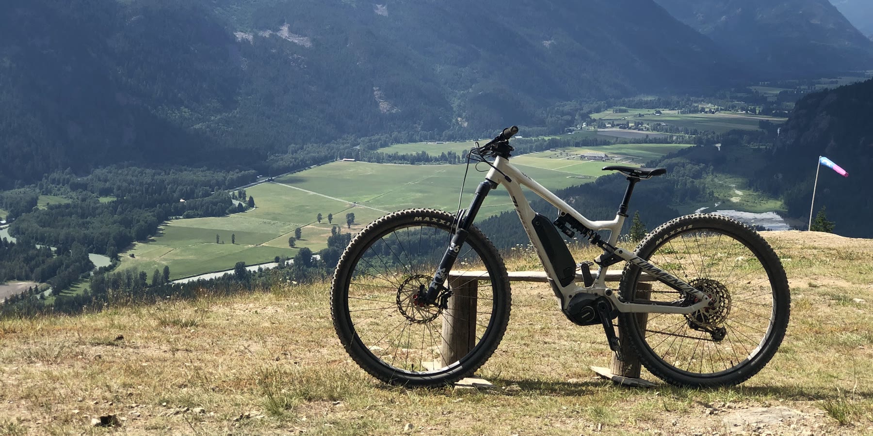
Pemberton's main mountain bike zone at the foot of Mount Currie, with fast flow and steep technical descents served by the Mackenzie forest road. Upper Mackenzie is expert terrain; hikers use it too when traffic is light.
Before you go 🌞
Leash dogs, especially on horse trails; keep dogs from wandering near bears
Make noise on the trails, especially if you are alone
Pemberton Valley Trails Association publishes a trail map; reports are online
Information from pembertontrails.com ↗, checked Nov 2, 2026
Plan your hike
- The hikeMackenzie Basin Loop: 3.1 km, 39 m ascent, easy (green) shared trail
- Best seasonUsed year-round for a range of activities
- Trail mapPemberton Trail Map (Pemberton Valley Trails Association) More ↗
From sitesandtrailsbc.ca, checked Nov 1, 2026
Visitor photos & tips
Check your email. Click the link to send your photo/tip for review.
Make a day of it
Nearby adventures ✨


Own or manage this business?
Claim this listingFree. Already have a login? Sign in to update this listing
Spotted something that needs updating? Suggest an update →